
Available activities
Cycling (specifications)
- Route length (km): 75
- Difficulty level: beginner
Land sports activities
- Cycling

See all
3 photos
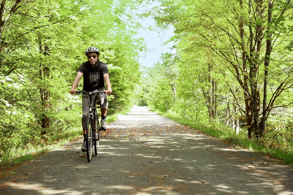
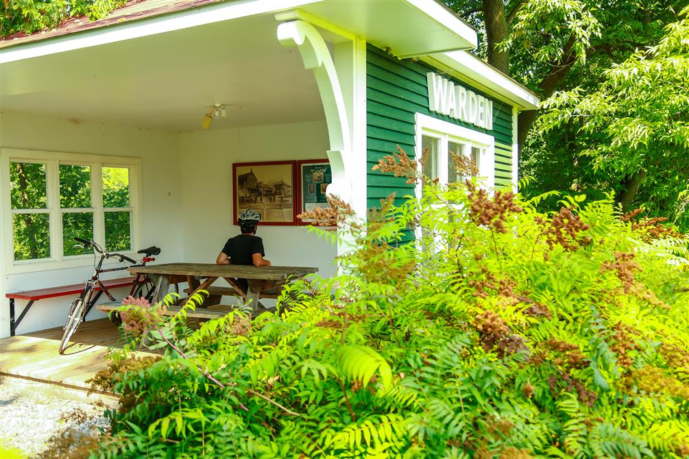
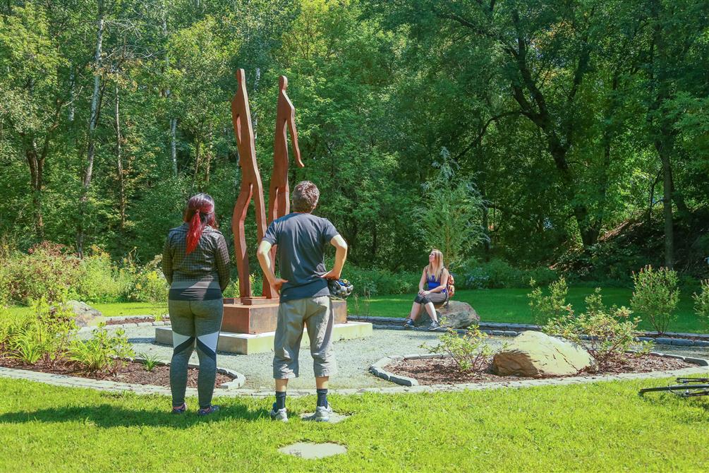
Located on axis 4 of the Route verte, the La Campagnarde bike path links the Eastern Townships with Centre-du-Québec. It runs as far north as Drummondville, and joins the L'Estriade and La Montagnarde bike paths to the south. In the Haute-Yamaska region, La Campagnarde criss-crosses the Granby area, passing through downtown Waterloo, the village of Warden and the forests of Yamaska National Park. Featuring friendly rest stops and picnic tables, this rock-dust trail will take you through charming landscapes.
Tourist information offices
Granby Tourism Office

Micro-Brewery
Micro-brasserie Le BrouemontBromont

Restaurants
C'est BelgeGranby

Breeding farms
Domaine des Nobles AlpagasLac-Brome (Knowlton)

Local libations
Distillerie SheffordShefford
Micro-Brewery
La Ferme Brasserie ruraleShefford

Restaurants
La Table à MoGranby