

Available activities
Cycling (specifications)
- Route length (km): 55
- Difficulty level: beginner, intermediate, advanced
Land sports activities
- Cycling

See all
3 photos
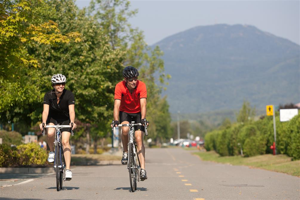
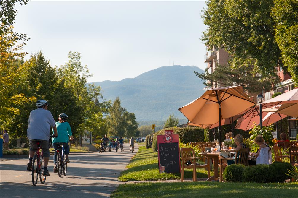
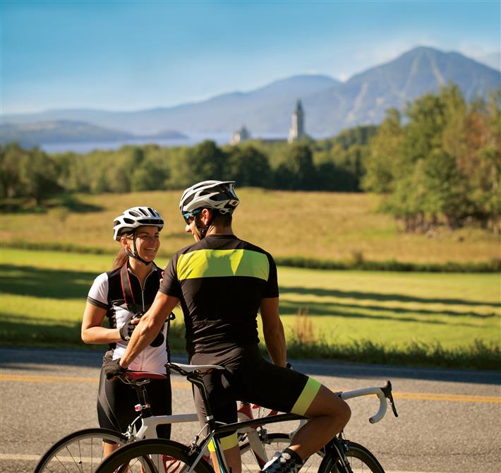
La Montagnarde offers you a 55 km cycling network, including 34 km of bike paths. This route allows you to enjoy the beauty of the Memphrémagog region, dotted with lakes and mountains, for which our region is famous. You'll ride along the shores of Lake Memphremagog and through splendid forests, not forgetting the magnificent natural landscapes of Mont-Orford National Park. La Montagnarde is accessible from several locations (Magog, Orford, Eastman and Stukely-Sud). A detailed map of La Montagnarde is available from local tourist offices and online at carto.routeverte.com. La Montagnarde is affiliated with the Route verte and the Trans Canada Trail.
Address
Magog Quebec
Toll free number
1-800-267-2744
Phone
819-843-2744
Email
info@tourisme-memphremagog.com

Restaurants
Le Tomahawk grill - EstrimontOrford

Cruises
Escapades MemphrémagogMagog

Restaurants
Taverne 1855Magog

Chocolatiers, Pastry Shops and Bakers
Dora’s Artisanal BakeryEastman

Restaurants
au comptoir MarCelMagog

Restaurants
Restaurant Les Jardins - Manoir des SablesOrford