

Available activities
Cycling (specifications)
- Route length (km): 52
- Difficulty level: intermediate
Land sports activities
- Cycling

See all
4 photos
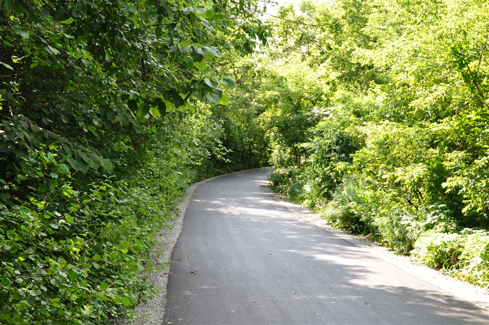
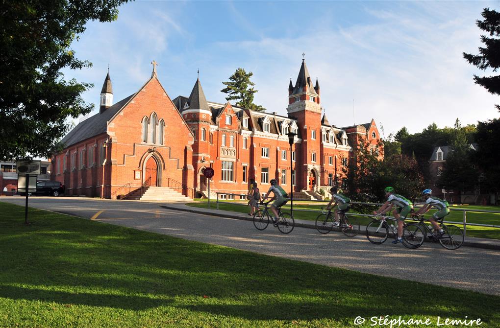
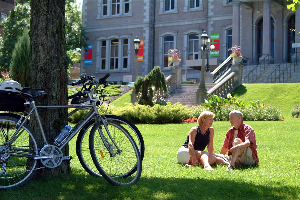
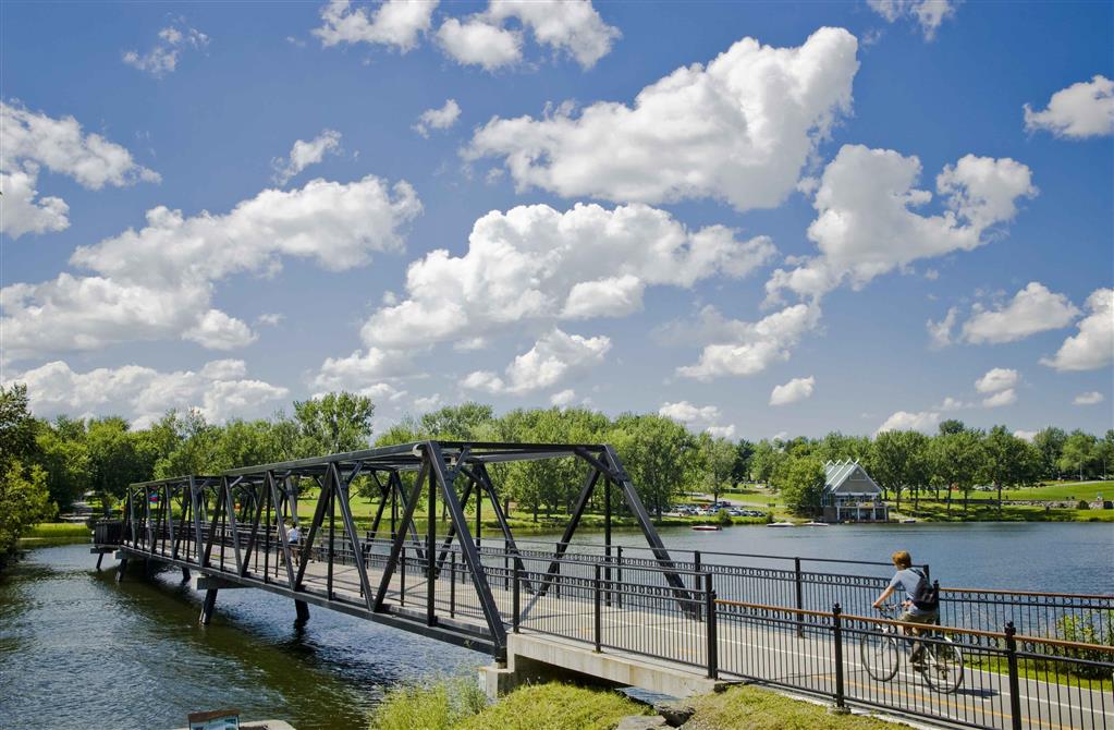
The Grandes-Fourches loop is a section of the Véloroute des Grandes-Fourches, which links the Route verte du Québec and the Canada Trail. This loop intelligently combines all the development infrastructures to integrate harmoniously into the city's urban and suburban environment. Its 54 km of rolling, bucolic landscapes also feature a flat, wooded trail along the Massawippi, Saint-François and Magog rivers. There are two choice stops along the way, in the village of North Hatley and on the Lac-des-Nations Parkway.
Address
785, rue King Ouest, Sherbrooke Quebec J1H 1R8
Toll free number
1-800-561-8331
Phone
819-821-1919
Email
visitez@sherbrooke.ca

Locally grown (terroir) shops
Gourmande boutiqueSherbrooke

Restaurants
Pub de La Cie VilandréNorth Hatley

Restaurants
Vin PolissonSherbrooke

Restaurants
Refuge des brasseursSherbrooke

Public and farmers markets
North Hatley’s Farmers’ MarketNorth Hatley

Micro-Brewery
La Halte des CrinquésSherbrooke


