
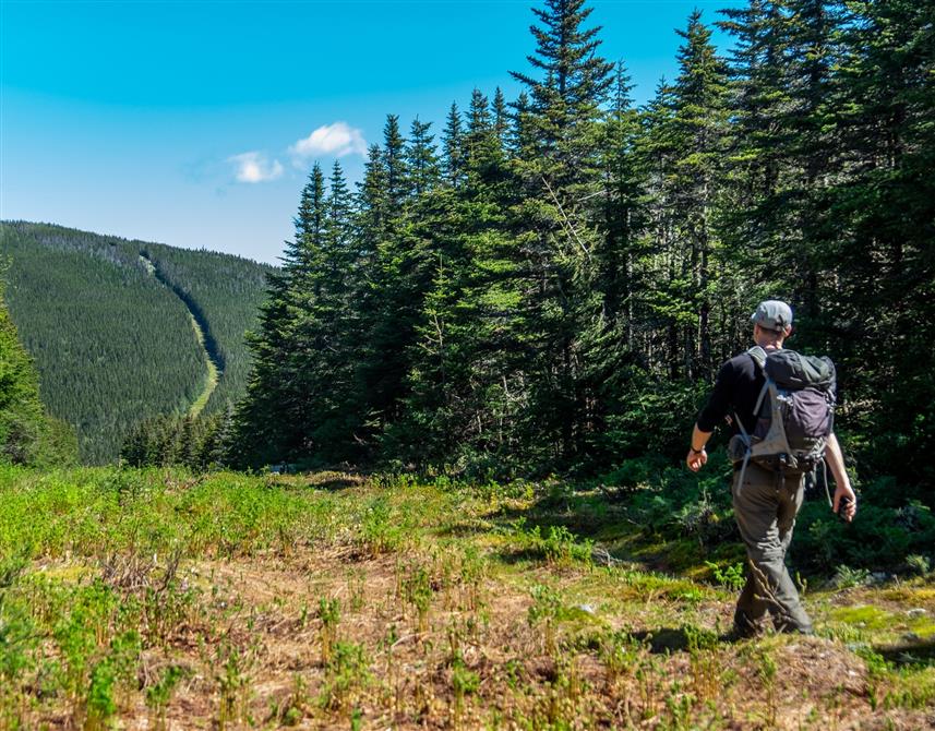
Available activities
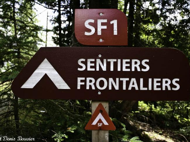
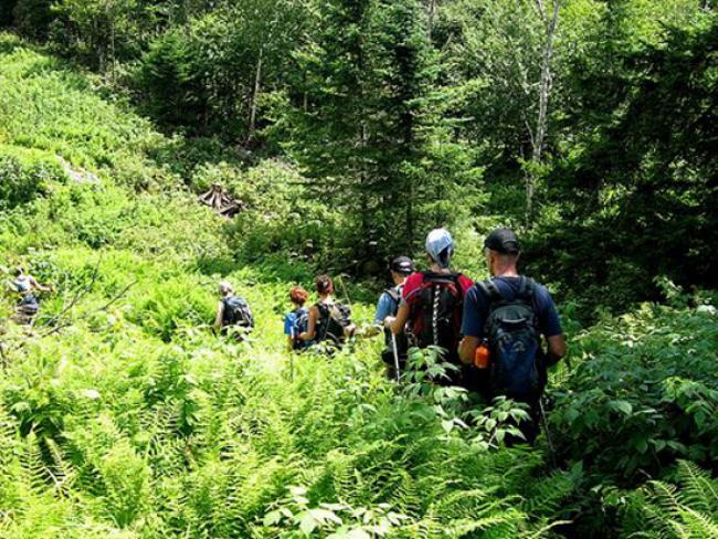
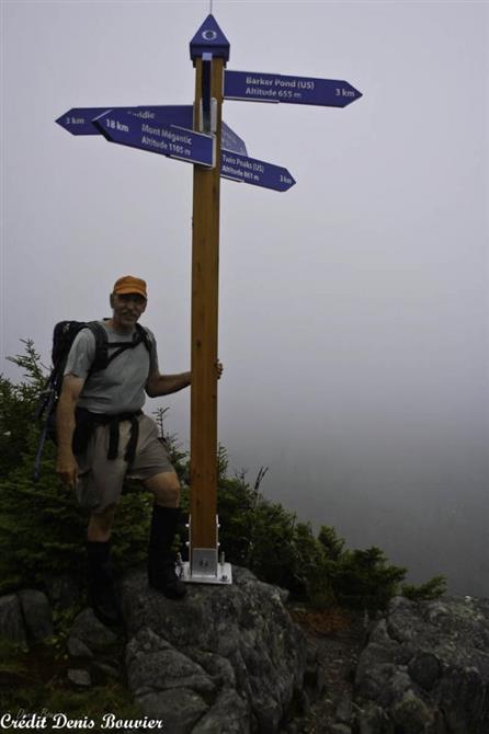
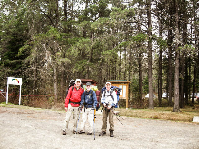
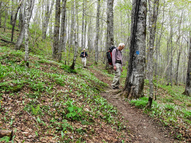
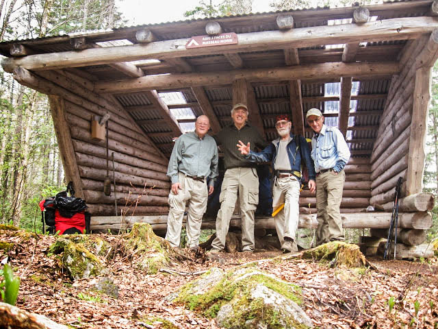
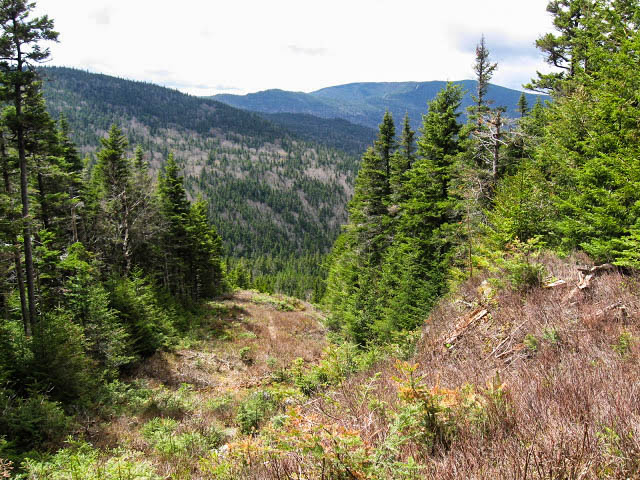
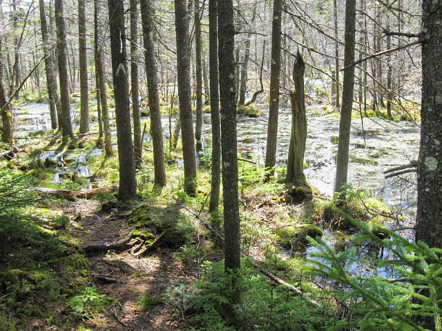
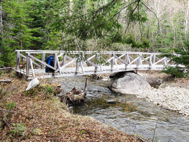
Hiking (specifications)
- Total number of trails: 9
- Total length of trails in summer (km): 135
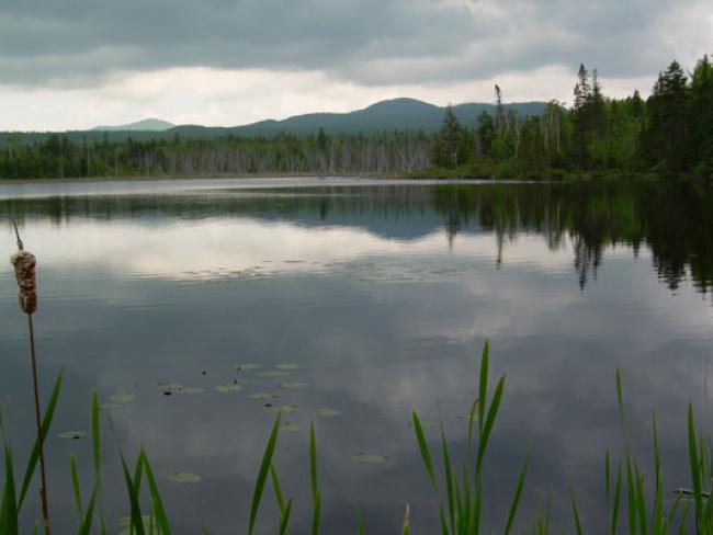
- Viewpoint : Yes
- Closed during hunting season : Yes
- Trail map available on site : Yes
- Trails types: marked, loop, linear
Snowshoeing (specifications)
- Total number of trails: 9
- Total length of trails (km): 135
- Trail map available on site : Yes
- Viewpoint : Yes
Cross-country skiing (specifications)
- Total number of trails (groomed): 9
- Total length of trails (km): 135
- Trail map available on site : Yes
- Trails types: marked, loop, linear
Land sports activities
- Hiking
- Snowshoeing
- Cross-country skiing