

Available activities
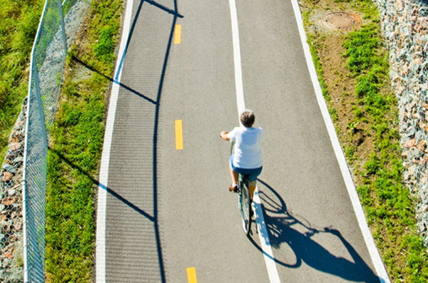
Cycling (specifications)
- Route length (km): 13
- Paved cycle lane (km): 13
- Difficulty level: beginner
Land sports activities
- Cycling

See all
6 photos
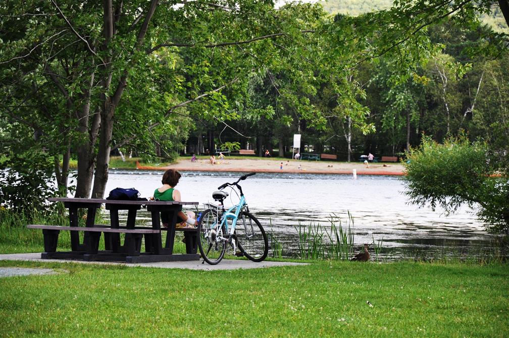
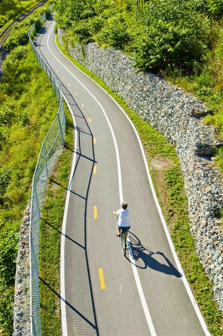
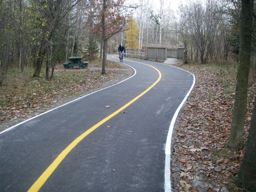
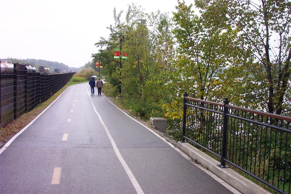
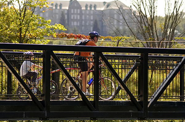
The Magog Loop offers cyclists a host of activities. In the heart of Sherbrooke, cyclists follow the Magog River to Jacques-Cartier Park or Lucien-Blanchard Park, where the whole family can take a break for a picnic, a game of volleyball or a swim at the beach. For foodies, there's also a stopover at Marché de la Gare. Gelatos and ice creams are particularly popular with young and old alike.
Address
785, rue King Ouest, Sherbrooke Quebec J1H 1R8
Toll free number
1-800-561-8331
Phone
819-821-1919
Email
visitez@sherbrooke.ca

Chocolatiers, Pastry Shops and Bakers
Boulangerie Pâtisserie Les Vraies RichessesSherbrooke

Public and farmers markets
Marché public de StokeStoke

Gardens and horticulture
Parc du Domaine Howard (Serres municipales Carl-Camirand)Sherbrooke

Restaurants
Refuge des brasseursSherbrooke

Restaurants
Coape & FeltonSherbrooke

Micro-Brewery
Pub & Microbrasserie Le Lion d'OrSherbrooke


