Take your pick: adrenaline packed or slow and contemplative?

See all
4 photos
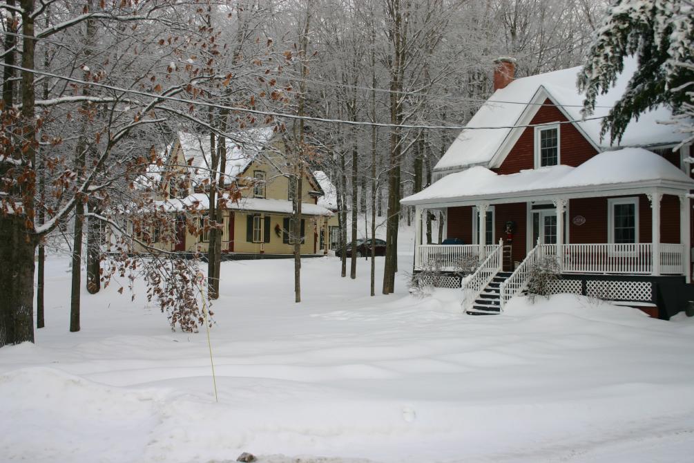
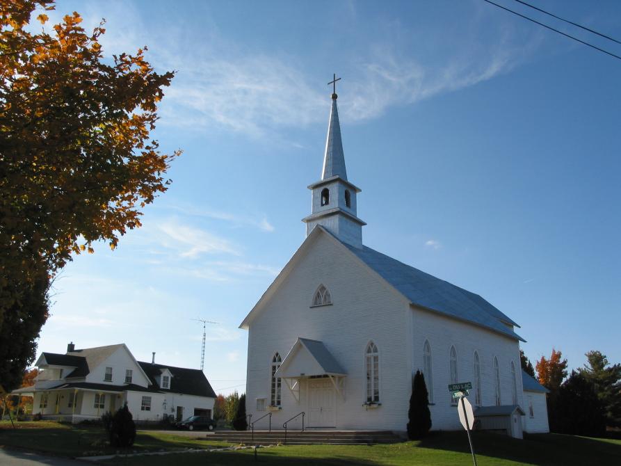
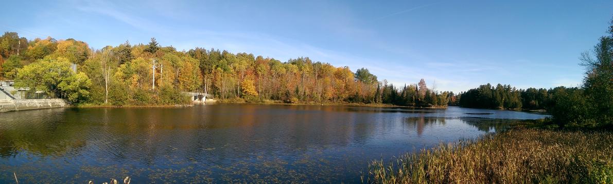
Established in 1896, one of Kingsbury’s main characteristics is its houses with slate roofs, tangible reminders of the large slate quarries that operated until the early 20th century. Outdoor enthusiasts enjoy hiking and observing the wildlife at the Kingsbury marsh. This marsh is an ideal setting for observing waterfowl and white-tailed deer; it is also home to a heron colony and a stand of red pines. The Kingsbury zone of the Sentiers de l'Estrie hiking trail network, 24 km in length, provides access to the La Rouche rock face, which looks out over the lake of the same name and the mountain ranges to the south.

Family Restaurants
La Vieille Gare de RichmondRichmond

Café de village
Café du Couvent CoopRichmond

Restaurants
La DesserteRichmond

Gardens and horticulture
Plantations Stéphan PerreaultVal-Joli

Public and farmers markets
Marché public de StokeStoke

Cheese makers and Dairy producers
Fromagerie le CampagnardRichmond

Public and farmers markets
Marché champêtre de MelbourneMelbourne (Township of)

Berry picking
Bleuetière Harmonie NatureMelbourne (Township of)

Vineyards
Les Vallons de WadleighUlverton

Honey Producers
Miellerie Lune de MielStoke

Micro-Brewery
La Confrérie Artisans BrasseursWindsor

Guided visits and tours
La Vallée du MoulinMelbourne (Township of)