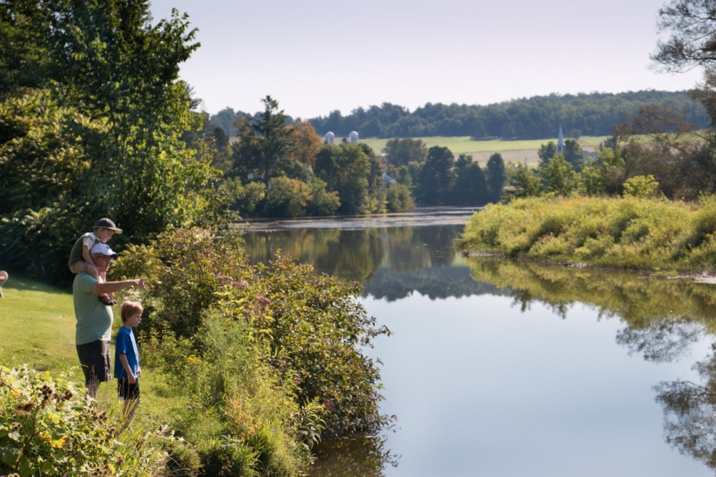
Martinville residents celebrated their centennial in 1996 by inaugurating Parc du Vieux Moulin. Located close to the dam that once powered the flourmill and sawmill of yesteryear, the park commemorates the town’s founding pioneer, a Loyalist named Martin. The landscape features an artificial pond that welcomes birds (Canada geese) every autumn. The local economy centres around natural resources (gravel pits, wood, plantations), dairy, pork and beef farming, a machine shop, a hazelnut necklace manufacturer, and an organic fruit and vegetable distributor.
Martinville
Sector Coaticook
Visitors' photos and videos
Local Weather
Attractions and Activities (13)
A Land of Plenty and Sugar shacks (2)
-
Domaine Ives Hill
8.2 km
(5.12 mi)
-
Fromagerie La Station
14.1 km
(8.76 mi)
Golf courses (1)
-
Club de golf Lennoxville
10.3 km
(6.43 mi)
Hiking (1)
-
Johnville Bog & Forest Park
10.3 km
(6.41 mi)
Micro-Brewery (1)
-
Pub & Microbrasserie Le Lion d'Or
14.4 km
(8.95 mi)
Museums and interpretation centres (4)
-
Verger Le Gros Pierre
9.4 km
(5.82 mi)
-
Louis S. St. Laurent National Historic Site
9.7 km
(6.02 mi)
-
Eaton Corner Museum
13.1 km
(8.15 mi)
-
Uplands Cultural and Heritage Centre
14.8 km
(9.22 mi)
Orchards (1)
-
Verger Le Gros Pierre
9.4 km
(5.82 mi)
Varied Agro-tourism Activities (1)
-
Marché de la ferme Beaulieu
13.7 km
(8.53 mi)
Vineyards (1)
-
Coteaux du Tremblay
9.7 km
(6.01 mi)
Accommodations (10)
-
Le Bocage "Auberge et Restaurant"
6.8 km
(4.21 mi)
-
Domaine des Capucines
7.9 km
(4.93 mi)
-
Camping du Pont Couvert
9.1 km
(5.66 mi)
-
Camping de Compton
10.5 km
(6.53 mi)
-
La Généreuse
12.1 km
(7.51 mi)
-
Hôtel-Motel La Paysanne
14.1 km
(8.79 mi)
-
Les Matins d'Antoine
14.1 km
(8.79 mi)
-
Motel Héritage
14.2 km
(8.80 mi)
-
Université Bishop's
14.4 km
(8.98 mi)
-
Camp Val-Estrie
14.5 km
(9.01 mi)
Restaurants (1)
-
Le Bocage
6.8 km
(4.21 mi)
Events (4)
-
Weekend with a Country Flavour
9.7 km
(6.02 mi)
-
Les Comptonales
9.7 km
(6.02 mi)
-
St-Laurent Puts on its Sunday Best
9.8 km
(6.06 mi)
-
Foire aux citrouilles
12.5 km
(7.77 mi)
Cacher
Sectors and municipalities
Tourism sectors
Municipalities in Brome-Missisquoi:
Municipalities in Des Sources:
Municipalities in Granby & region:
Municipalities in Haut-Saint-François:
Municipalities in Megantic:
Municipalities in Memphrémagog:
All municipalities
B
J
L
M
P
Q
S
- Saint-Adrien
- Saint-Alphonse
- Saint-Armand
- Saint-Augustin-de-Woburn
- Saint-Benoît-du-Lac
- Saint-Camille
- Saint-Claude
- Saint-Denis-de-Brompton
- Saint-Élie d'Orford (see Sherbrooke)
- Saint-Étienne-de-Bolton
- Saint-François-Xavier-de-Brompton
- Saint-Georges-de-Windsor
- Saint-Herménégilde
- Saint-Ignace-de-Stanbridge
- Saint-Isidore-de-Clifton
- Saint-Joachim-de-Shefford
- Saint-Ludger
- Saint-Malo
- Saint-Pierre-de-Véronne-à-Pike-River
- Saint-Robert-Bellarmin
- Saint-Romain
- Saint-Sébastien
- Saint-Venant-de-Paquette
- Sainte-Anne-de-la-Rochelle
- Sainte-Catherine-de-Hatley
- Sainte-Cécile-de-Milton
- Sainte-Cécile-de-Whitton
- Sainte-Edwidge-de-Clifton
- Sainte-Sabine
- Sawyerville
- Scotstown
- Shefford
- Sherbrooke
- Stanbridge East
- Stanbridge Station
- Stanstead
- Stanstead-Est
- Stoke
- Stornoway
- Stratford
- Stukely
- Stukely-Sud
- Sutton


