Take your pick: adrenaline packed or slow and contemplative?

Les Crêtes
Parc national du Mont-Orford
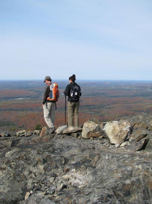
Set out to conquer the hills and summits of Mount Orford. A magnificent mountain hike that enables you to observe plant life that varies with altitude. Take the natural stone stairway, Escalier du Nord, and reach Pic de la Roche-Fendue providing a view of Lake Stukely. From there, travel along the crest over open terrain to Pic de l’Ours where you’ll have a 360-degree view of the region. Continue your hike to Mount Orford. From the top, take La Grande Coulée ski slope to arrive at the ski centre. The Bonnallie service centre via 7.3 km of trail winding at the foot of the summits.
Le Bonnallie service centre - Lac-Stukely sector
chemin du Camping, Orford
Length : 22.8 km
Time : 10h
Linear (round trip)
Altitude : 853 m
Drop : 455 m
Difficulty : Difficult
Hiking networks
Parc national du Mont-Orford