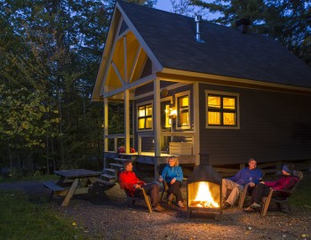
X

Mont-Chauve

Parc national du Mont-Orford

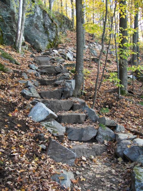
By taking this trail, you’ll reach the barren summit of Mount Chauve, close to 600 metres in altitude. An amazing view of Lake Stukely and Mount Orford awaits you.

Departure

Le Bonnallie Discovery and Visitors Centre

chemin du Camping, Orford (6 km from Le Cerisier Visitors Centre, 200, Chemin du Camping, by pedestrian or ski trail)

Technical specifications

Length : 10.6 km

Time : 4h

Loop

Altitude : 600 m

Drop : 310 m

Difficulty : Intermediate

  • Spring, summer, fall
  • Winter Walk

  • Snowshoeing
  • Accessible in sport stroller
  • Accessible by wheelchair
  • In the mountain (with top)
  • In the forest, little rough
  • Urban
  • Interpretation of nature
  • Dogs permitted
Number of camping platforms on this trail
  • 0
Number of campsites on this trail
  • 0
Number of shelters on this trail
  • 0

New Mountains to Discover!

Hiking suggestions - Sentiers de l'Estrie

The Highest Summits of the Townships

Six Hiking Routes for Mountain Pros

Trails for a Perfect Family Sunday Outing

The more you read our articles, the more you’ll love us

Click here
X

Filters

X
Taste the Townships
Arts, culture and entertainment
Shopping
Lodging
Nature, sports and outdoor activities
Restaurants
Tourist routes
Family outing
Spa and wellness
Charging stations