Take your pick: adrenaline packed or slow and contemplative?

See all
2 photos
Sentier principal -1 (border crossing to border crossing)
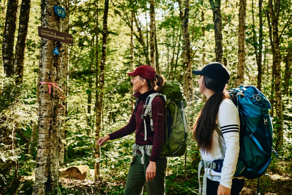
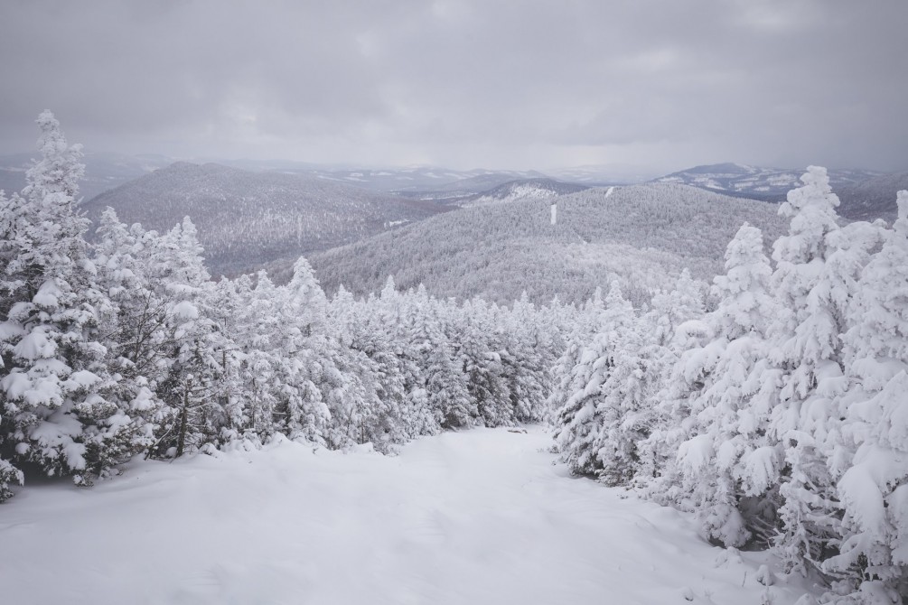
Sentiers frontaliers
This trail will introduce you to beautiful landscapes and take you to the highest peaks in the Eastern Townships. Featuring mountains and valleys, this trail can be hiked in either direction (from west to east recommended) and we recommend leaving a car at each end. The trail hosts the annual event “Expédition des braves randonneurs” (EBR) a guided hike that includes one night in a tent or lean-to, supplying service every two days.
Chartierville rest area (less than 100m, from NH boarder)
Route Saint Hyacinthe, Chartierville
Woburn customs
Woburn customs
no, we recommend leaving a car at each end.
Length : 81 km
Time : 6 days
Linear (one way)
Altitude : 1193 m
Drop : 540 m
Difficulty : Difficult
Hiking networks
Sentiers frontaliers