Take your pick: adrenaline packed or slow and contemplative?

See all
3 photos
Boucle des crêtes
Mont Gosford randonnée pédestre
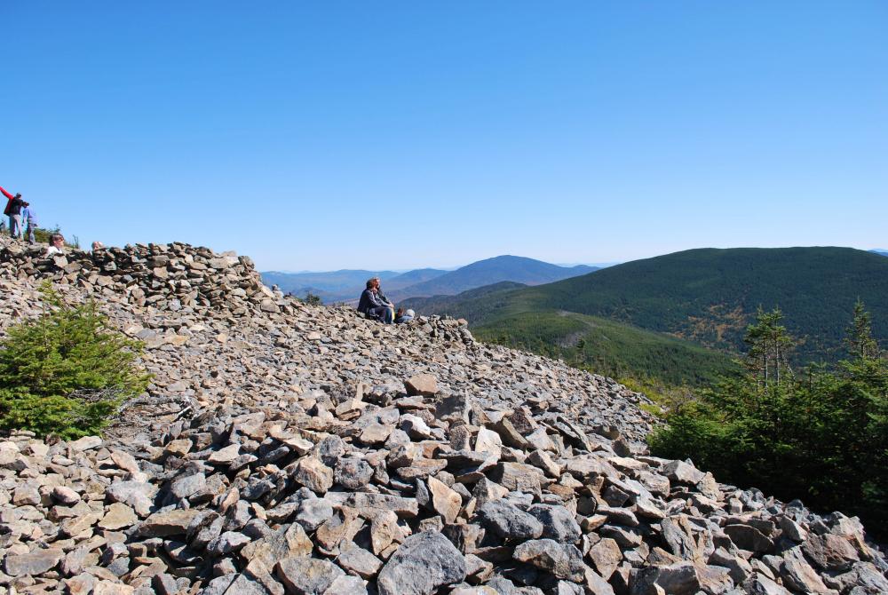
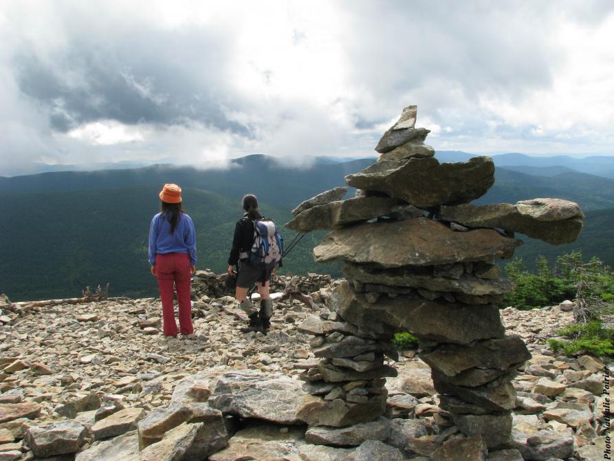
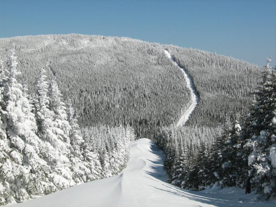
For a change of pace, spend a night in a rustic shelter in the heart of nature. This loop follows the Arnold River and leads to the Clearwater shelter, a cosy log cabin. Leave early the next day and enjoy the Du Cap Frontière trail and its superb viewpoints. The trail then leads to Mount Gosford, the highest peak in southern Quebec. Its barren summit provides 360-degree visibility. From the observation tower, you’ll admire endless forests. You’ll return to the reception centre via the Du col (#8) and Du ruisseau Morin (#6) trails. Check the conditions as the level of difficulty varies, depending on snow conditions. About a12-hour trek over two days.
Accueil Gosford
901, rang Tout-de-Joie, St-Augustin-de-Woburn
Length : 26.7 km
Time : 2 days
Loop
Altitude : 1193 m
Drop : 600 m
Difficulty : Difficult
Hiking networks
Mont Gosford randonnée pédestre