X

La ceinture de randonnée (C1) - Réseau de la Montagne

Parc des Sommets Bromont

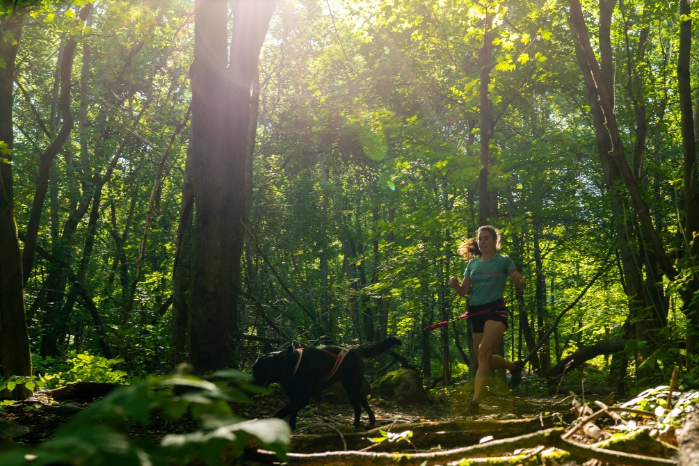
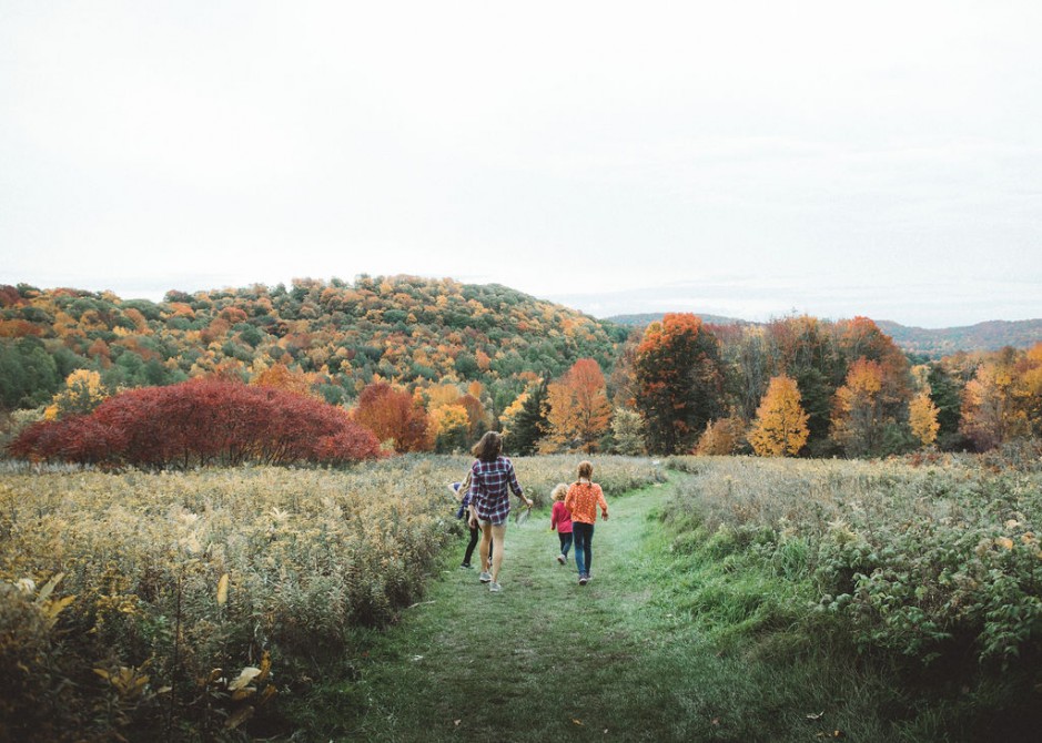
On horseback, by foot, on snowshoes, by mountain bike, fatbike, on cross-country skiing enjoy a 15.1-km hiking loop (C1) encircles Mount Brome. A sports challenge! Several hiking loops are connected to this loop to form La Montagne du parc des Sommets network. Trails map available at Tourist Information Centre and on Ondago application.

Departure

Lac Bromont municipal beach

Rue Frontenac, Bromont (QC) J2L 1Z2

Technical specifications

Length : 15.1 km

Time : 5h

Loop

Difficulty : Easy

  • Spring, summer, fall
  • Winter Walk

  • Snowshoeing
  • Accessible in sport stroller
  • Accessible by wheelchair
  • In the mountain (with top)
  • In the forest, little rough
  • Urban
  • Interpretation of nature
  • Dogs permitted
Number of camping platforms on this trail
  • 0
Number of campsites on this trail
  • 0
Number of shelters on this trail
  • 0
Payment options for Parc des Sommets Bromont
  • https://parcdessommets.com/

Hiking suggestions - Sentiers de l'Estrie

New Mountains to Discover!

Six Hiking Routes for Mountain Pros

Trails for a Perfect Family Sunday Outing

The Highest Summits of the Townships

The more you read our articles, the more you’ll love us

Click here
X

Filters

X
Taste the Townships
Arts, culture and entertainment
Shopping
Lodging
Nature, sports and outdoor activities
Restaurants
Tourist routes
Family outing
Spa and wellness
Charging stations