Take your pick: adrenaline packed or slow and contemplative?

See all
2 photos
Circuit des sommets
Parc d'environnement naturel de Sutton
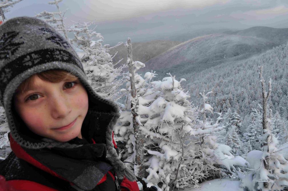
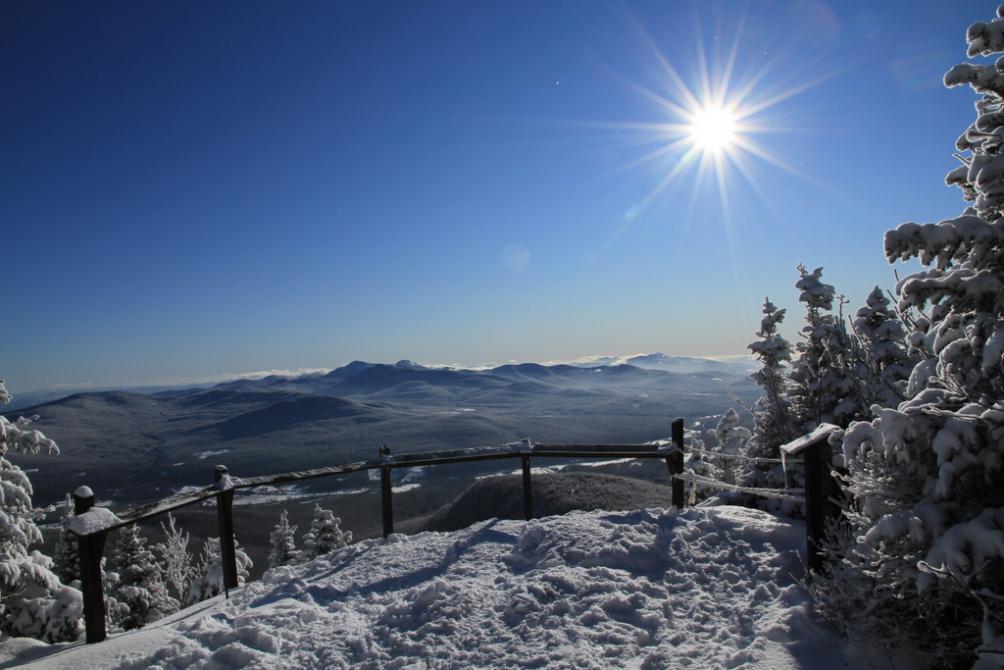
With its 10 lookout points and spectacular views, this 13.8 km panoramic circuit passes through an old sugar bush, a mixed forest and red spruce trees which connect to the main PENS summits. Beginning at the visitor centre at 900 chemin Réal (altitude: 520 m), the trail crosses the Vallée du Ruisseau Maple before climbing to the summit of Hollandais (723 m), then to the Dos d'Orignal (810 m). After a short descent to the Passe de l’Ours (720 m) and the Nombril (615 m), it climbs by the Sentier de l’Estire Trail before reaching the top of the Sutton mountains (Round-Top, 968 m), and finally leads to the visitor centre. Dogs are strictly prohibited.
Visitor centre
900, chemin Réal, Sutton (QC) J0E 2K0
Length : 13.8 km
Time : 6h
Loop
Altitude : 968 m
Drop : 448 m
Difficulty : Difficult
Hiking networks
Parc d'environnement naturel de Sutton