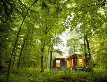
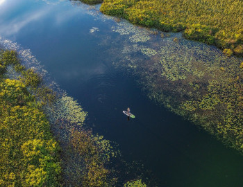
Take your pick: adrenaline packed or slow and contemplative?

See all
6 photos
Un lac au sommet
Sentier Un lac au sommet
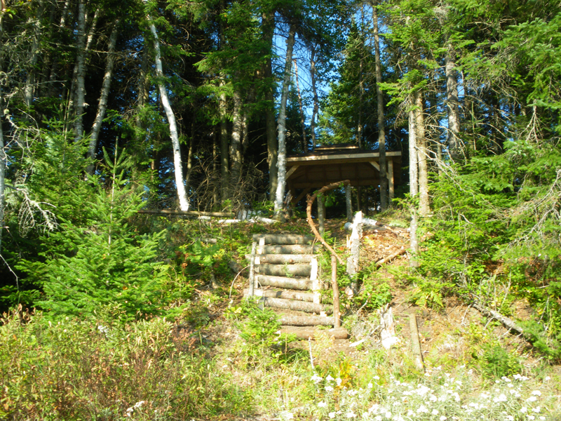
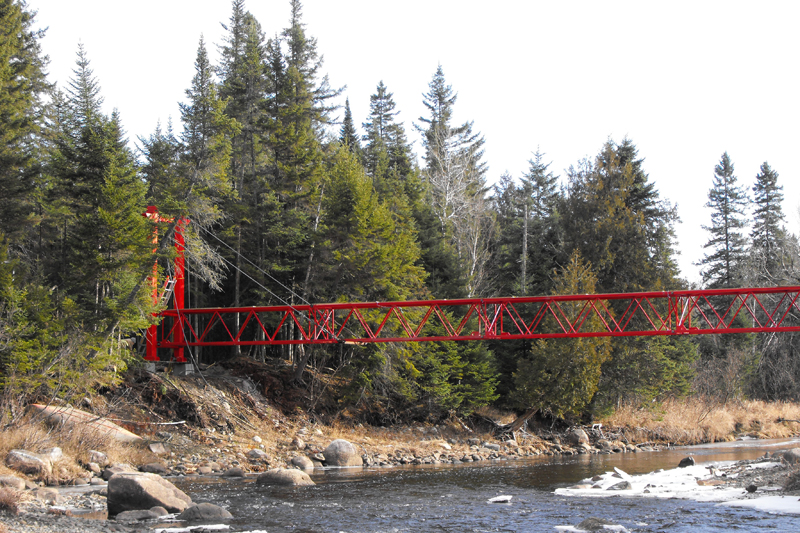
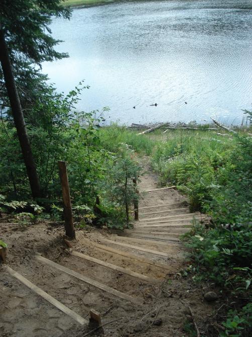
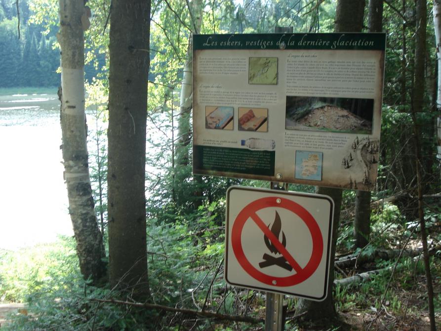
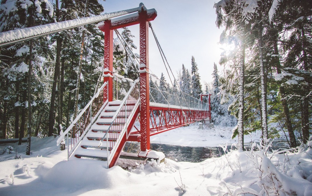
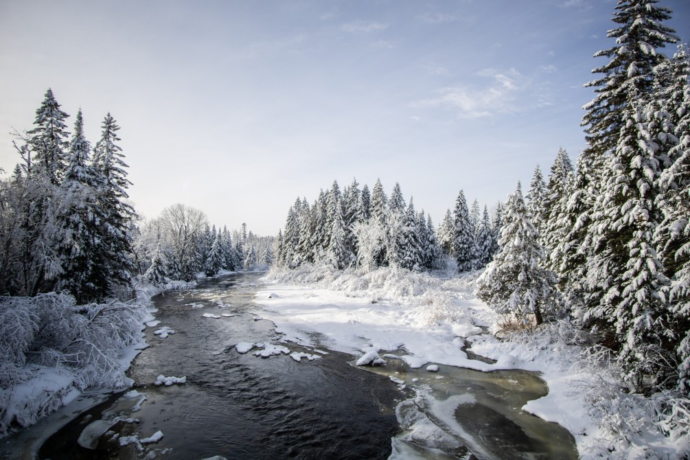
“Un lac au sommet” trail, with a total length of 8.4 km (round trip) will allow you to discover several viewpoints from the municipality of Marston. Why the name “Un lac au sommet”? ("A lake at the top"?). This is because of the Jos-Gilbert lake which is raised by 10 meters because of the ridges surrounding it. They form a basin which traps the lake’s water. These bear the name of esker, a word of Irish origin. During your expedition, you will have to pass on a footbridge to cross the Victoria River. At the end of the trail, you’ll find a gazebo to have a picnic or to relax.
Centre des Loisirs
130, route 263 sud, Marston (QC) G0Y 1G0
Length : 8.4 km
Time : 2h30
Linear (round trip)
Difficulty : Easy
Hiking networks
Sentier Un lac au sommet