Take your pick: adrenaline packed or slow and contemplative?

See all
6 photos
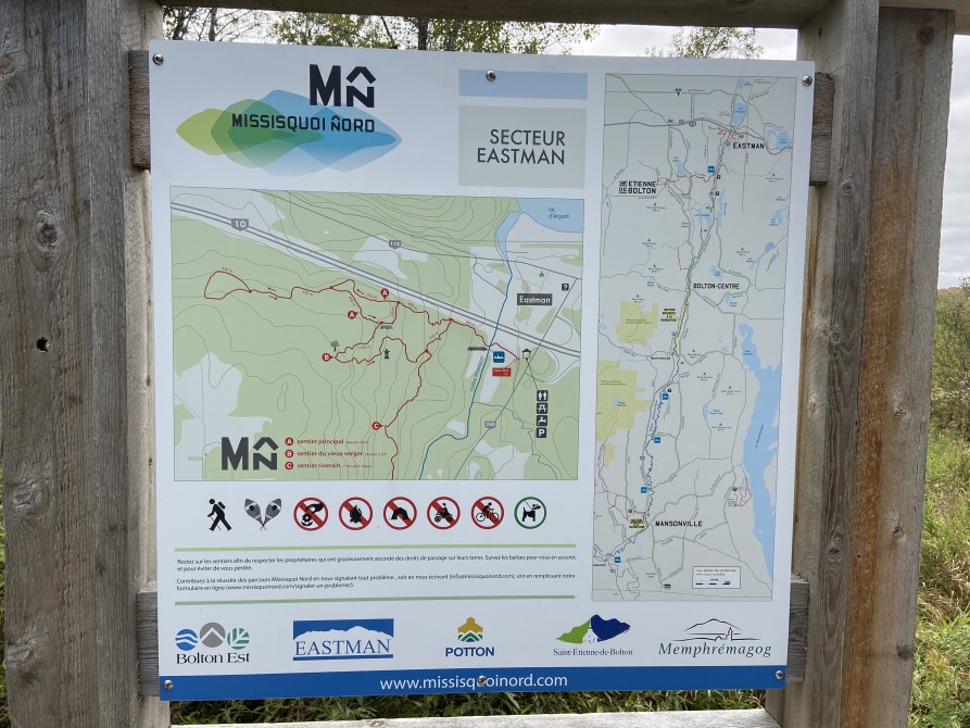
Riverain Trail
Missisquoi Nord - Sentiers Missisquoi-Nord
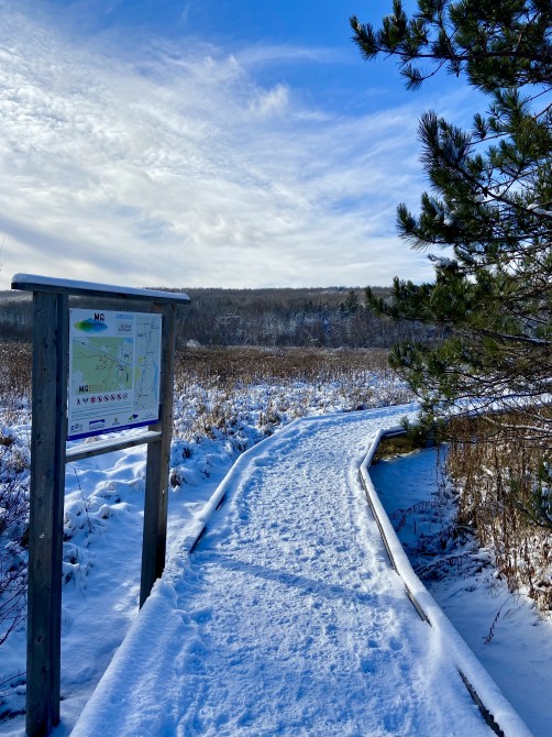
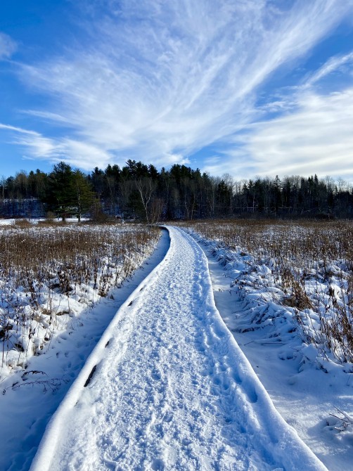
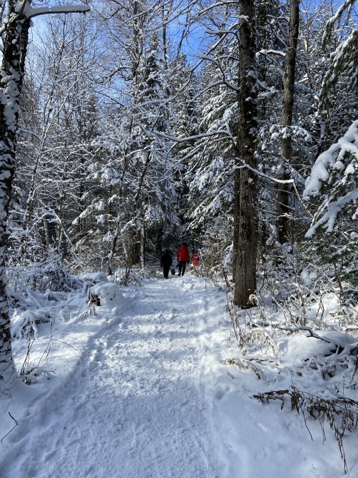
Parallel to the river, this rustic-style trail begins at Parc Missisquoi Nord, Eastman sector, and comes out at the Durocher Bridge, 3 km downstream. The trail crosses through an unfragmented forest along the hill that borders the valley. Hikers can also continue to walk along Chemin de la Mine over 4 more kilometres (Sentier d'un village à l'autre) to arrive in the village of Saint-Étienne-de-Bolton.
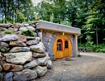
Parc Missisquoi Nord, secteur Eastman
37, rue des Pins Sud, Eastman (south side of the autoroute)
Chemin de la Mine
Chemin de la Mine
Length : 7 km
Time : 3h30
Linear (round trip)
Altitude : 350 m
Drop : 100 m
Difficulty : Intermediate
Hiking networks
Missisquoi Nord - Sentiers Missisquoi-Nord