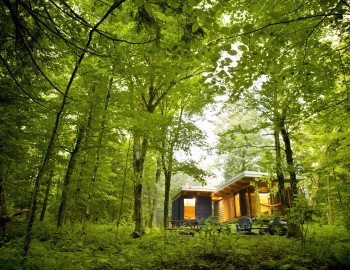
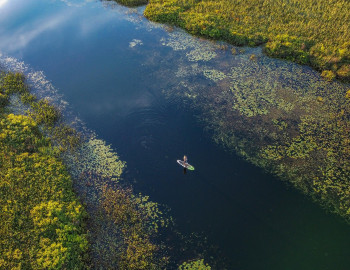
Take your pick: adrenaline packed or slow and contemplative?

See all
4 photos
Boucle du sommet - Mont Gosford
Mont Gosford randonnée pédestre
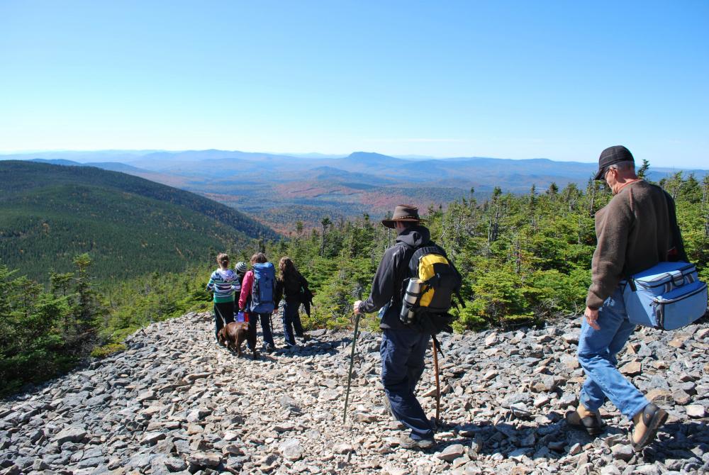
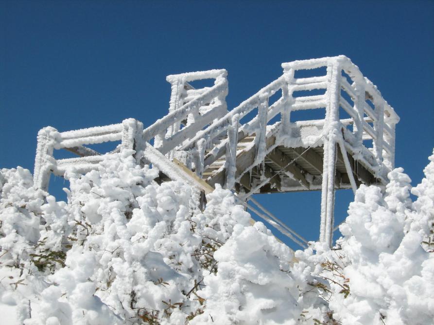
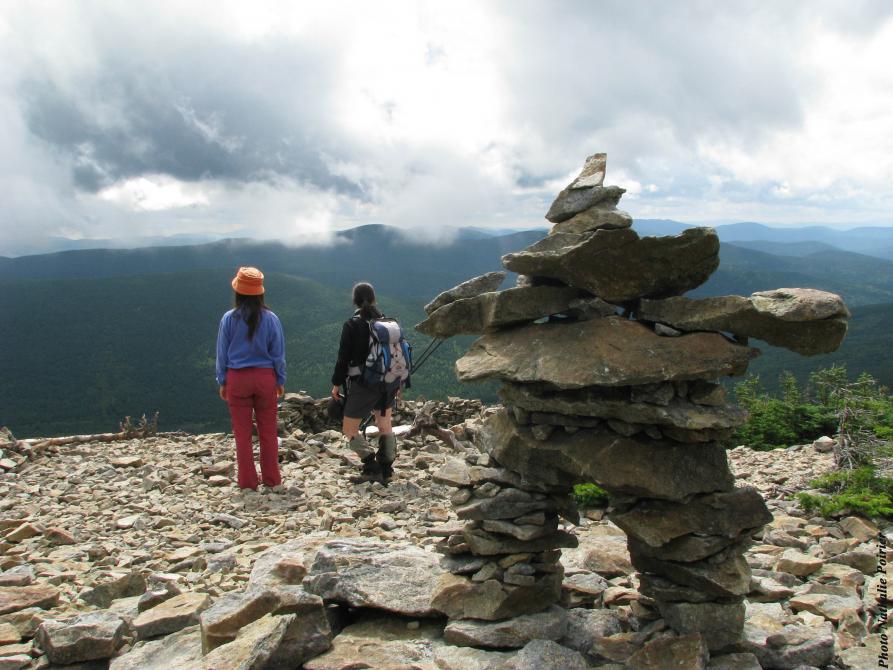
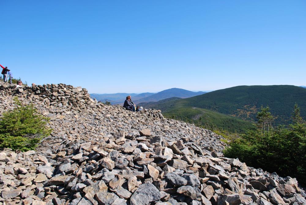
This loop enables you to climb southern Quebec’s highest peak (1193 m). It follows the Arnold River, crosses through a mature, untapped sugar bush, and reaches the barren summit in steep inclines. From the observation tower, you’ll have a panoramic 360-degree view towards the mountains in the northeastern United States. The trail then descends via the Du col (#8) trail and returns to the reception centre via the Ruisseau Morin (#6) trail. Possibility to lunch and warm up half way at the Rose-Délima pavilion (at km 6) or to make a stop at the three-sided shelter of the ruisseau du Cap (at km 8).
Accueil ZEC Louise-Gosford
901, rang Tout-de-Joie, St-Augustin-de-Woburn
Accueil Gosford
Accueil Gosford
Length : 17.4 km
Time : 6h
Loop
Altitude : 1193 m
Drop : 600 m
Difficulty : Difficult
Hiking networks
Mont Gosford randonnée pédestre