The Highest Summits of the Townships

Updated on Apr 17, 2024

Are you looking for new challenges for your next outing? Here are eight summits among the highest of the Townships accessible to hikers.


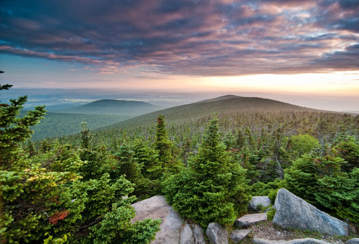
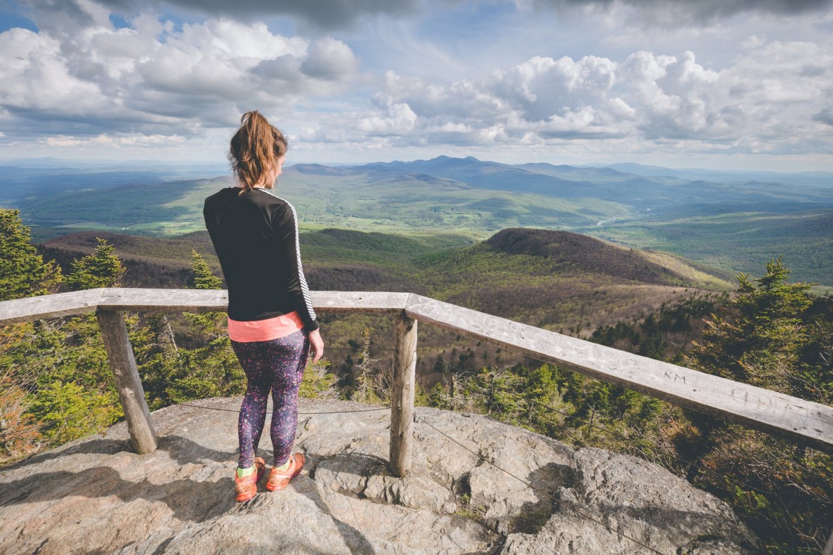
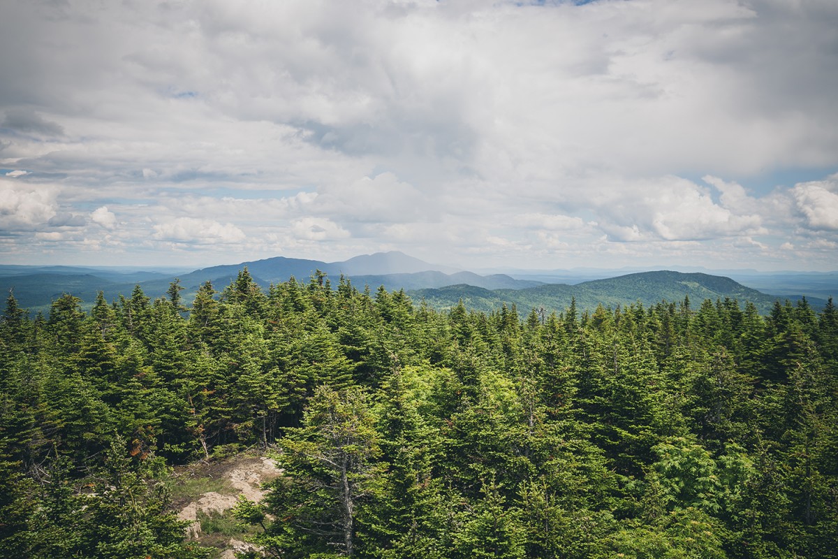
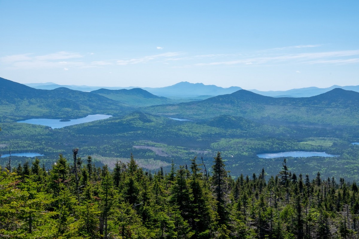
Mont Gosford (1,193 m)

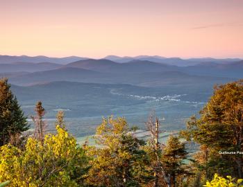
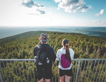
Mont Gosford, the highest peak in the southern part of Quebec, the seventh highest in Quebec, offers an impressive panoramic view from the top. From its observation tower, you can admire most of the region’s mountains, among them, Mont-Mégantic and the United States’ North-Eastern massifs. Long-distance hikers know that you’ll be able to complete loops covering distances of 17 km to 20 km.

  • Approximate distance: 8.5 km (out and back) starting at the Pavillon Rose-Délima.
  • Access fee.
  • Shelter and campsite rentals available.
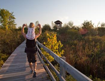
  • Dogs admitted? Yes.
  • Trail map

Mont-Mégantic (1,110 m)

Located inside the Parc national du Mont-Mégantic, this mountain is a must for hiking enthusiasts. By taking the summit trail, you’ll first walk through a mixed forest. Then, as you approach your destination, the forest becomes denser, the ground is covered with moss, and conifers and shorter, scraggly trees take over as wide-leaf essences become scarce. At the summit, you’ll be charmed by the landscape and by the presence of Canada jays, these sociable birds you’ll see flying all about you.

  • Approximate distance: 11 km (to and from).
  • Access fee.
  • Many different accommodations available inside the park.
  • Dogs admitted? Yes (only for the trail that will take you directly to the summit of Mont-Mégantic.)
  • Trail map

©Mont Saint-Joseph

Mont Saint-Joseph (1,075 m) and Mont Victoria (1,065 m)

Also located inside the Parc national du Mont-Mégantic, you’ll find the Saint-Joseph and Victoria mountains next to each other. Once you’ve reached the top of Mount Saint-Joseph, you can continue your hike by taking the Promenade Boréale, a 2 km high altitude trail that takes you along a crest and allows you to reach the top of Mount Victoria. On your way, you’ll be able to admire the interior massif of the park from several points of view. For the more experienced ramblers, it’s also possible to complete the Trois-Sommets loop (mounts Saint-Joseph, Victoria and Mégantic). This trail will have you hike a distance of 15 km.

  • Approximate distance: 6.5 km for Mount Saint-Joseph (out and back), and 11 km for Mount Victoria (to and from).
  • Access fee.
  • Many different accommodations available inside the park.
  • Dogs admitted? No.
  • Trail map

Round Top (968 m)

The highest point of the Sutton Mountain range and the Parc d’environnement naturel de Sutton, the Round Top is accessible for everyone, which makes it one of the most popular summits visited in the Townships, especially in autumn. With the exception of the last part, which is more cliff-like and known for its steep stair sections, the trail is considered as moderate. It offers the perfect family outing. As you’re heading up, take a short detour to Lake Spruce, set higher up in altitude and nestled inside the mountain landscape. It’s the perfect place to pause before continuing up to the top!

  • Approximate distance: 8 km (to and from).
  • Access fee.
  • Dogs admitted? No.
  • Trail map

©Montagne de Marbre

Mont Saddle (970 m) and Montagne de Marbre (920 m)

The Mont Saddle and Montagne de Marbre are part of the Sentiers Frontaliers network of trails, which covers nearly 150 km between the United States and the Mégantic region. In fact, the trail that links the two summits is found right on the border. You’d be wise to bring your passport! Those looking for a true challenge, this is the perfect venue for a long-distance trek that will take several days to complete. Rugged terrain, minimal traffic, and breathtaking landscapes are on the program!

  • Approximate distance: 18km (loop).
  • Free access.
  • Three-sided shelters and camping platforms available.
  • Dogs admitted? Yes.
  • Trail Map

Mont Bélanger (960 m)

Located near the United States border, in Saint-Robert-Bellarmin, the trails of Mont Bélanger don’t get a lot of traffic. However, this mountain has nothing to be envious of other mountains! On the summit, a 6 m. observation tower allows you to take in a 360 o-view overlooking the surrounding regions! there are two parking areas depending on whether you wish to complete a long or shorter hike. Please note that these trails are only accessible from mid-May to mid-September.

  • Approximate distance: 17 km or 5 km (to and from) depending on the starting point.
  • Free access.
  • Rustic campsites available.
  • Dogs admitted? No.
  • Trail map

You should read

X

Filters

X
Taste the Townships
Arts, culture and entertainment
Shopping
Lodging
Nature, sports and outdoor activities
Restaurants
Tourist routes
Family outing
Spa and wellness
Charging stations