Take your pick: adrenaline packed or slow and contemplative?

Published on Mar 20, 2023
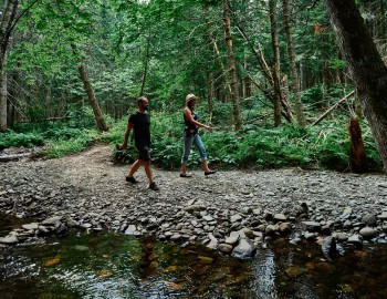
Do you know Le Chemin du Québec, a long-distance walking route covering 1,200 kilometres from Montréal to Gaspé by way of the Eastern Townships? Initiated by the Québec Compostelle group, the Chemin du Québec offers loads of amazing discoveries for long-distance ramblers. Here’s a glimpse of what you can expect as you take on these 125 km or so across the Township!
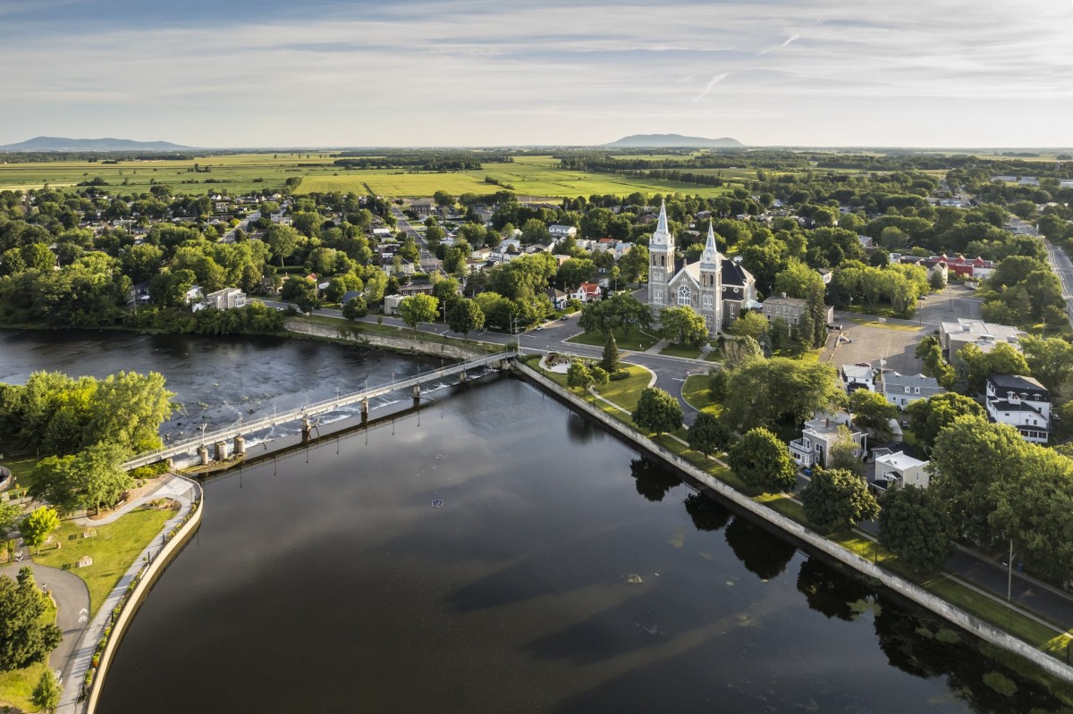
In Farnham, a town which has kept its loyalist character, you’ll walk along the Yamaska River flirting with the trails of the Centre de la nature de Farnham. Then, you’ll mainly be walking on the Montérégiade bike path, which will take you across rural landscapes and farmlands.
Where to Eat in Farnham:
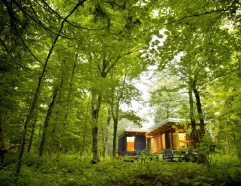
Where to Sleep in Farnham:
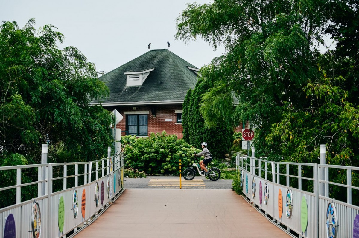
As you approach Granby, you’ll leave the quiet countryside for the excitement of the city! Along this stretch, which includes the Estriade bike path, you’ll encounter many cyclists. You’ll also admire these gigantic sculptures part of the Artria open-air museum. And if you feel like it, take a short detour to the Centre d’interprétation de la nature du lac Boivin.
Where to Eat in Granby:
Where to Sleep in Granby
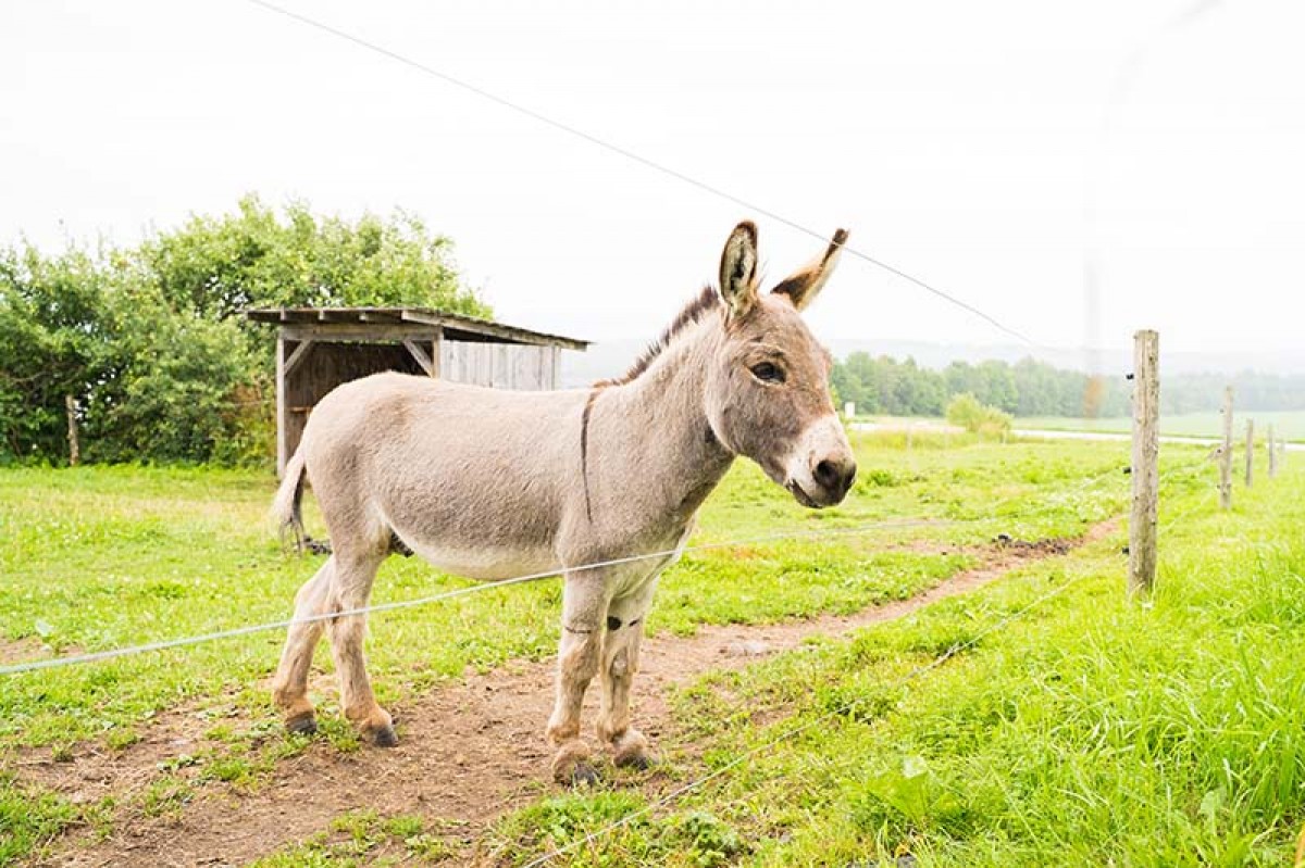
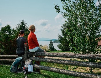
The route will then take you to Waterloo, one of the 12 Cœurs villageois of the Townships. Relax awhile in Caboose Park or on the shores of Lake Waterloo before continuing on to Sainte-Anne-de-la-Rochelle where you’ll pass by the Asinerie les ânes en culotte, one of the few dairy donkey farms in Québec.
Where to Eat in Waterloo:
Where to Sleep in Waterloo
Section map (to Sainte-Anne-de-la-Rochelle)
Section map (to Lawrenceville)
In Lawrenceville, the route will take you along a portion of the Ardoise bicycle path. With its low traffic, this trail will offer you a peaceful walk along fields and woodland. You’ll end this portion of the walk in the town of Valcourt, home of the famous inventor Joseph-Armand Bombardier, to whom we owe the snowmobile. To discover more about this great entrepreneur, stop at the Musée de l’Ingéniosité J. A. Bombardier.
Where to Stay in Valcourt :
Along the way, discover the villages of Maricourt and Melbourne. In the latter, stop at the Bleuetière Harmonie Nature blueberry growers, located in an enchanting setting where perennials, floral arrangements, a pond and waterfalls will allow you to immerse yourself inside nature. Other points of interest in Melbourne? The Country Market to stock up on local produce and the Richmond Historical Society Museum where you can learn more about this community’s rich past.
Where to eat in Richmond:
Where to Sleep in Richmond:
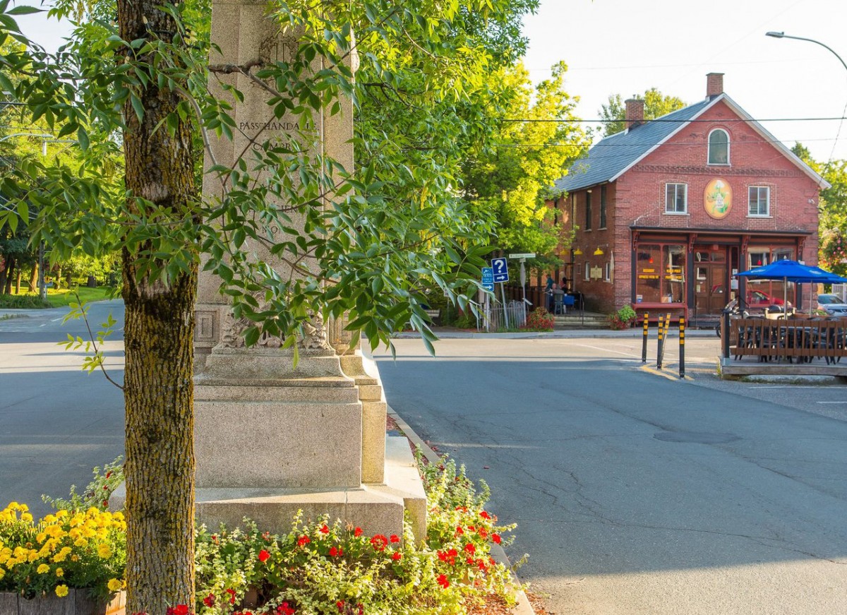
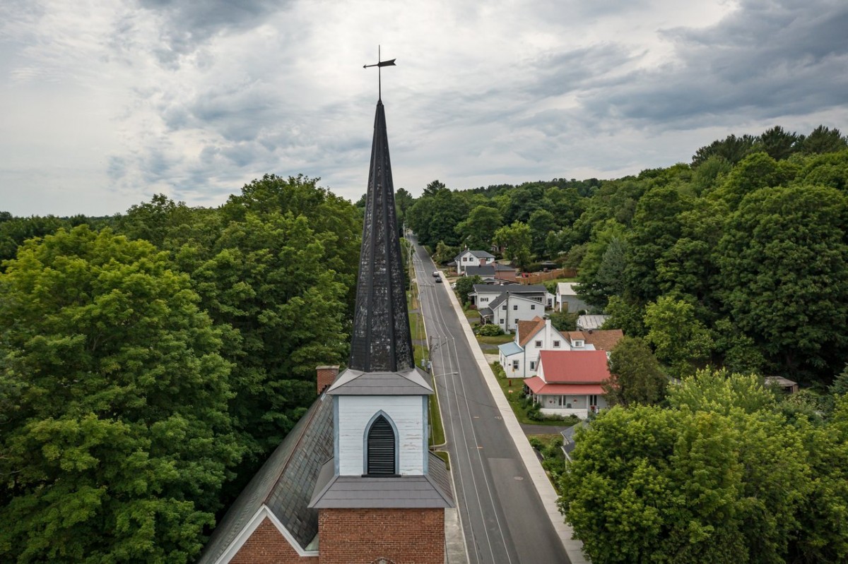
In Richmond, stop at the Musée de l’Ardoise, established in a heritage church dating back to 1889, or enjoy a trip on the Saint-François River with Canot-Kayak Richmond. Then, for the last section of the walk in the Eastern Townships, you’ll follow the Route Verte bike path to Danville, another town in the Cœurs Villageois network. In the heart of this town you’ll find about sixty heritage buildings, including the Carré clock and several beautiful period homes. Burbank Pond is another point of interest to visit in Danville.
Where to Eat in Danville:
Where to Sleep in Danville
Good to know: If you walk at a pace of 3 km/h or more and cover 15 to 25 km per day, the Chemin du Québec route through the Townships can be completed in 5 to 8 days.
Hiking
6 Places for Woodland Walks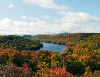
Nature, sports and outdoor activities
New Mountains to Discover!