


Upload cycling unmarked circuits and cycling trails (PDF) and discover parking near of Cycling trails, Bike rental shops, etc.
DISCOVERAvailable activities
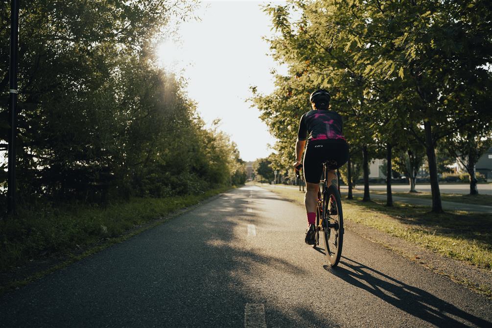
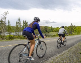
Cycling (specifications)
- Route length (km): 40
- Difficulty level: beginner
Land sports activities
- Cycling


