

Available activities
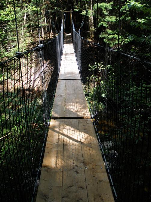
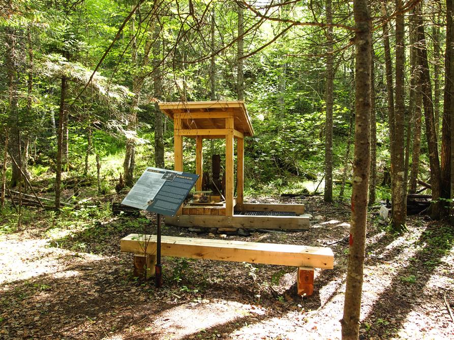
Hiking (specifications)
- Total number of trails: 2
- Total length of trails in summer (km): 4.5
- Relay / shelters : Yes
- Closed during hunting season : Yes
- Patrolmen, first aid : Yes
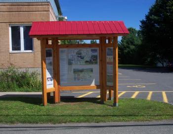
- Trail map available on site : Yes
- Trails types: marked, loop, linear
Land sports activities
- Hiking