Take your pick: adrenaline packed or slow and contemplative?

See all
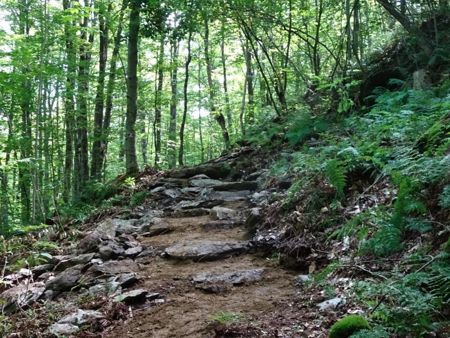
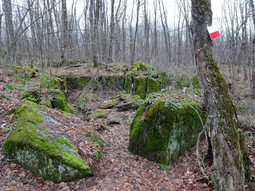
3 photos
Boucle du Mont John Guillemette - (Monts Stoke- forêt Domtar)
Les Sentiers de l'Estrie inc.
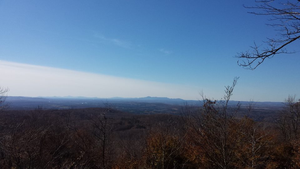
Several accesses lead to the summits of the Stoke Mountains. The trail leading to Mount John Guillemette offers a certain level of difficulty as it asks you to climb a first summit, to go down, and to climb back up to reach the lookout points of Mount John Guillemette. To return, it is possible to take an alternative path for a little more than 1 km, to see different views. It is possible to reach the East Angus and Chapman zones from the Stoke zone.
Parking S 36
10e Rang E, Stoke, QC J0B 3G0
Length : 4.7 km
Time : 3h
Loop
Altitude : 570 m
Drop : 180 m
Difficulty : Intermediate
Hiking networks
Les Sentiers de l'Estrie inc.