Take your pick: adrenaline packed or slow and contemplative?

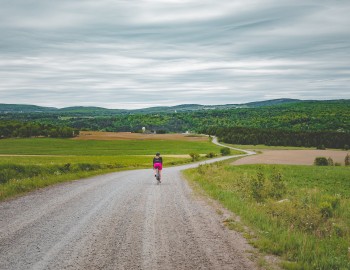
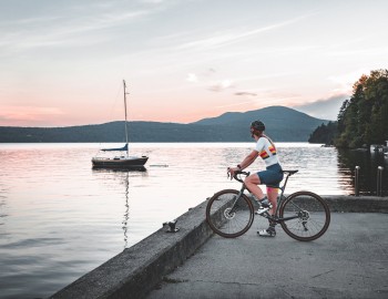
Three days, nearly 240 km, and a loop that follows the water as its guiding thread, weaving between lakes and rivers. From Lake des Nations in Sherbrooke to the viewpoints over Lake Memphremagog, via the north and south shores of Lake Massawippi, the route strings together open landscapes, quiet roads, and more demanding gravel sections. A perfect mix of challenge, self-sufficiency, and pure riding pleasure—with enough variety to keep each day engaging. A 4-day version lets you ease the effort without watering down the experience.
Starting point: La Maison de l'Eau
755 Rue Cabana, Sherbrooke, QC J1K 2M3, Canada
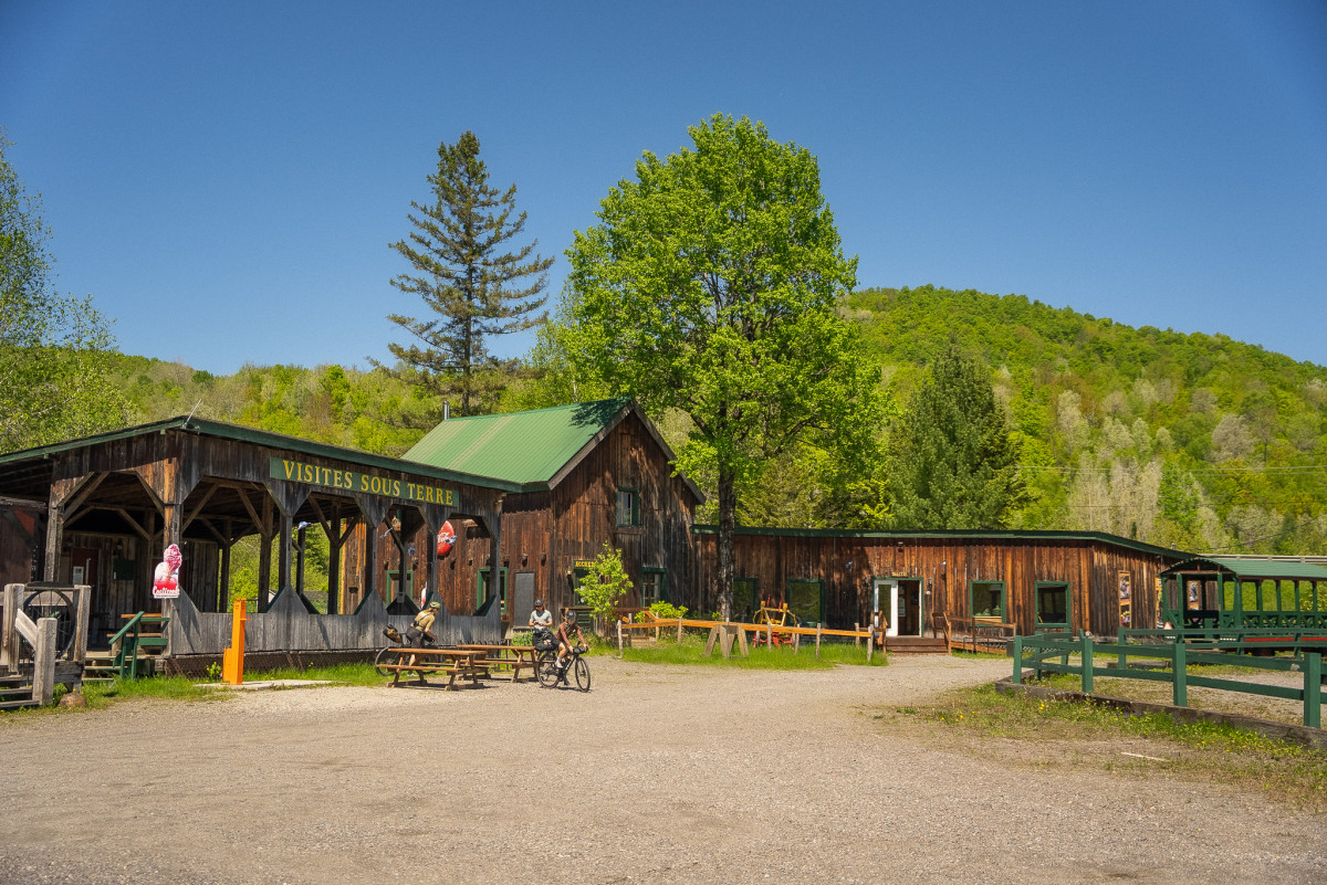
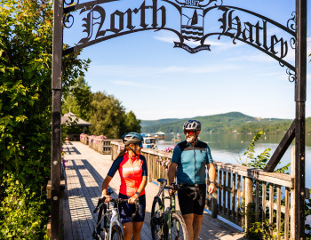
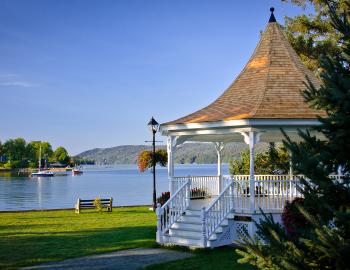
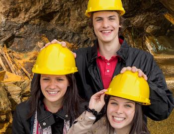
The Véloroute des Grandes-Fourches sets the tone for your day as it follows the Saint-François River, gradually guiding you out of the urban landscape. After about fifteen kilometres, you turn onto the quieter, more wooded Massawippi Axis, passing near the Capelton Mine, a reminder of the region’s mining past. North Hatley offers your first real break of the route, set on the shores of Lake Massawippi in a peaceful, restful setting. You then continue to Fromagerie La Station, an ideal stop to refuel and recharge. The day ends at Parc de la Gorge de Coaticook, where you settle into ready-to-camp accommodation or a shelter. On site, you’ll have access to camping services and can enjoy light activities before spending the night there.
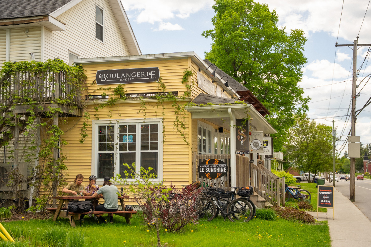
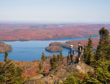
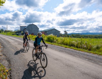
You leave Coaticook early, with a more demanding stage ahead: over 110 km to reach Ayer’s Cliff if you’re following the 3-day version. The route becomes more technical, with varied sections and more sustained elevation changes. A first break is well deserved in Stanstead at Auberge Le Sunshine, an ideal spot for lunch and recovery—and also an option for an overnight stay if you choose the 4-day itinerary. The road then runs along the U.S. border before entering a wilder stretch between Beebe and Georgeville: narrow paths, mixed surfaces (gravel and dirt), and wooded sections. As you approach Cedarville, occasional openings reveal views over Lake Memphremagog. In Georgeville, a stop at the general store is a must before tackling a roughly 2 km gravel climb, with steeper sections that form the day’s main challenge. The stage ends at the Camping du Lac Massawippi, where you set up your base camp on a shaded site with access to the lake.
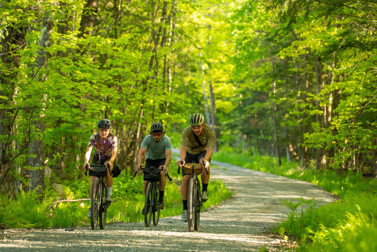
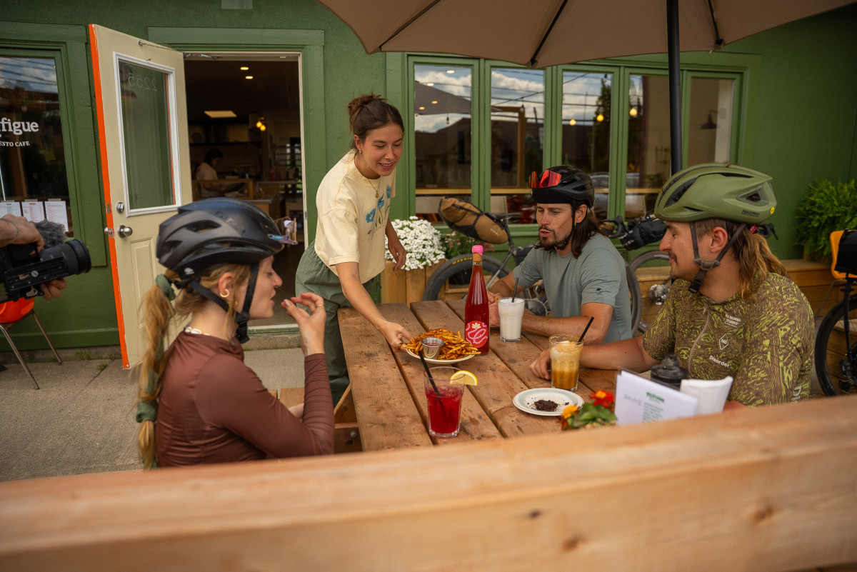
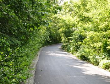
You begin this final day with around 67 km to cover before reaching Sherbrooke. Before leaving Ayer’s Cliff, a short detour through the village centre is well worth it for a stop at La Pinte dairy, a quick and easy way to refuel before getting back on the road. You then ride toward Magog and Orford, with a possible stop at Café Mifigue for a more substantial meal break. The return follows much of the Route Verte, a smooth and flowing section that runs alongside the river and makes the final kilometres back to Sherbrooke easier and more relaxed. Arriving in the city marks the end of the circuit, with the option to wrap up the day at Siboire Jacques-Cartier, near downtown, for a well-earned meal and beer after the effort.
This circuit can easily be adapted into a 4-day / 3-night version if the distances in the 3-day itinerary feel too ambitious. Simply split the second stage by stopping in Stanstead at Auberge Le Sunshine. This way, you reduce the daily mileage and enjoy a more gradual pace, without missing any of the route’s highlights.